Texas A&M Expert: Drought Has Returned To Texas
State Climatologist Dr. John Nielsen-Gammon says drier and warmer conditions over much of the state could last until spring.
Nov 20, 2020
October is usually one of the wettest months in Texas, but many parts of the state received little or no rain during the period. The situation is especially bad in West Texas: In the past six months in Midland, only 1.45 inches of rain have been recorded, breaking a 69-year-old record by an inch, according to figures from the State Climatologist’s office at Texas A&M University.
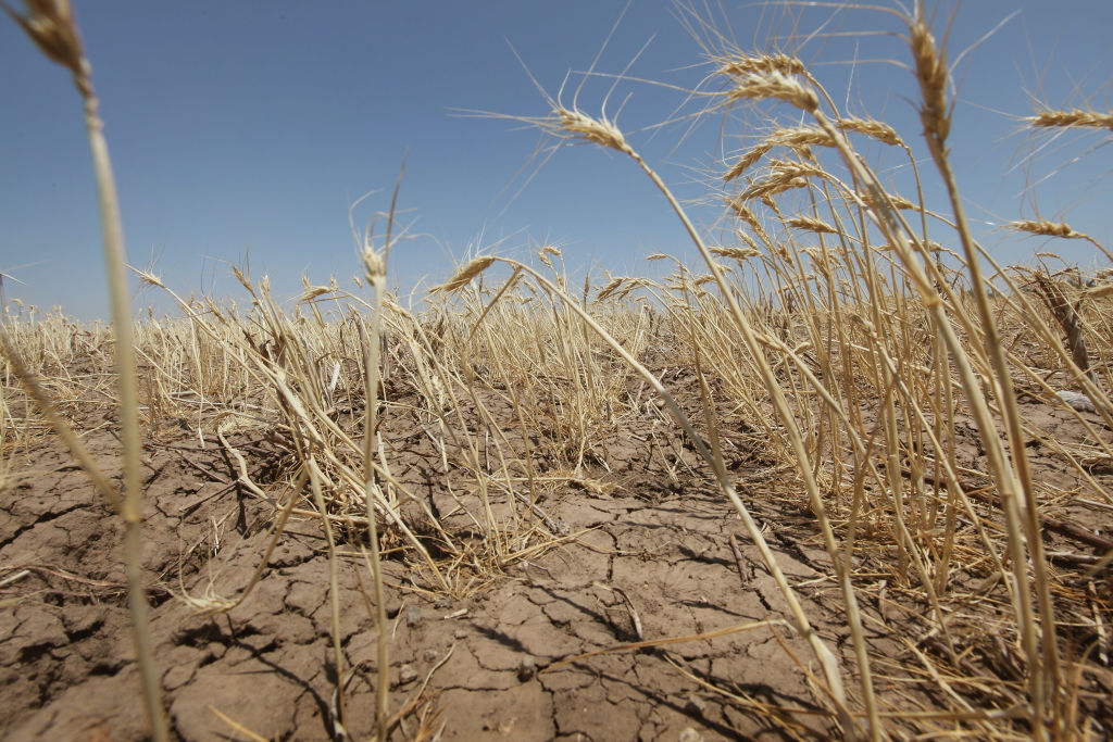
In short, drought has returned to Texas — more than three quarters of the state is now in drought for the first time in over six years.
Dr. John Nielsen-Gammon, Regents Professor at Texas A&M who also serves as State Climatologist, said that La Niña conditions began developing in the Pacific Ocean a few months ago and are the reason to expect continued dry conditions. A La Niña occurs when there is cooler than normal water temperatures in the Pacific Ocean, and it can influence weather patterns over much of the United States.
Nielsen-Gammon said ocean temperatures in a key region of the tropical Pacific are running more than a degree cooler than normal, which would qualify as a moderate La Niña if it persists.
“According to the Climate Prediction Center, La Niña conditions are likely to persist through this coming spring,” he said. “The resulting weather patterns tend to leave most of the southern United States, including Texas, dry from November through March. According to the U.S. Drought Monitor, over 10% of the state is in exceptional drought for the first time since 2014. And the seasonal forecast released this morning by the Climate Prediction Center suggests drought is likely to get worse before it gets better.
“Also, La Niña winters also tend to be warmer than normal in Texas, and climate change adds to the likelihood of a mild winter. It probably won’t be mild the whole time, though, because the cold air in Canada will sweep down to Texas a few times and bring a temporary chill.”
Nielsen-Gammon said as a general rule, the stronger the La Niña, the greater the likelihood of below normal rainfall. The last moderate La Niña was 2011-2012. Contrary to expectations, that turned out to be a rather wet winter. But the year before was a strong La Niña, and it set the stage for the worst one-year drought on record.
Nielsen-Gammon said current drought conditions are not unique to Texas.
Severe drought extends as far north as Montana and as far west as the Pacific Coast, with the Four Corners region being particularly hard-hit, he said. The combination of high summertime temperatures and a lack of typical summertime rainfall have left little moisture in the soil.
For most of Texas, the dry conditions started in September, Nielsen-Gammon said.
“Over the past two months, most of the state has received less than half of its normal rainfall,” he said. “October produced one widespread precipitation event, and November looks similar, with the best chances for rain early in Thanksgiving Week. The next storm event around the beginning of Thanksgiving Week may be limited mainly to the Panhandle.
“Farmers are holding off on planting winter wheat, and ranchers are doing the same for cold-season forage. Without decent rain soon, it’s going to be a difficult winter in many areas.”
By Keith Randall, Texas A&M University Division of Marketing & Communications
